Plakias
In May 1941, as the island fell under German occupation, thousands of retreating British, Australian and New Zealand soldiers chos...
Updated 8 July 2026
This season · July · Summer
What to do in Plakias now
The story
The story of Plakias
From fishing village to travelers' refuge
Plakias does not appear among the illustrious centers of ancient or Venetian Crete: for centuries it was little more than a fishermen's landing linked to the villages of the interior, above all Myrthios, on which it depended administratively and economically. The turning point came in the 1970s, when the road connecting the south coast to Rethymno and Spili was improved and the first independent travelers, often veterans of the hippie routes to Asia, discovered this isolated bay and its very long beach. Since then Plakias has developed as a destination for a different kind of tourism than that of the north coast: younger, more nature-oriented, tied to trekking, diving and the slow discovery of the territory, with buildings that rarely exceed two floors and still maintain today a more modest profile compared to Chania or Malia.
The beach and the village's seafront
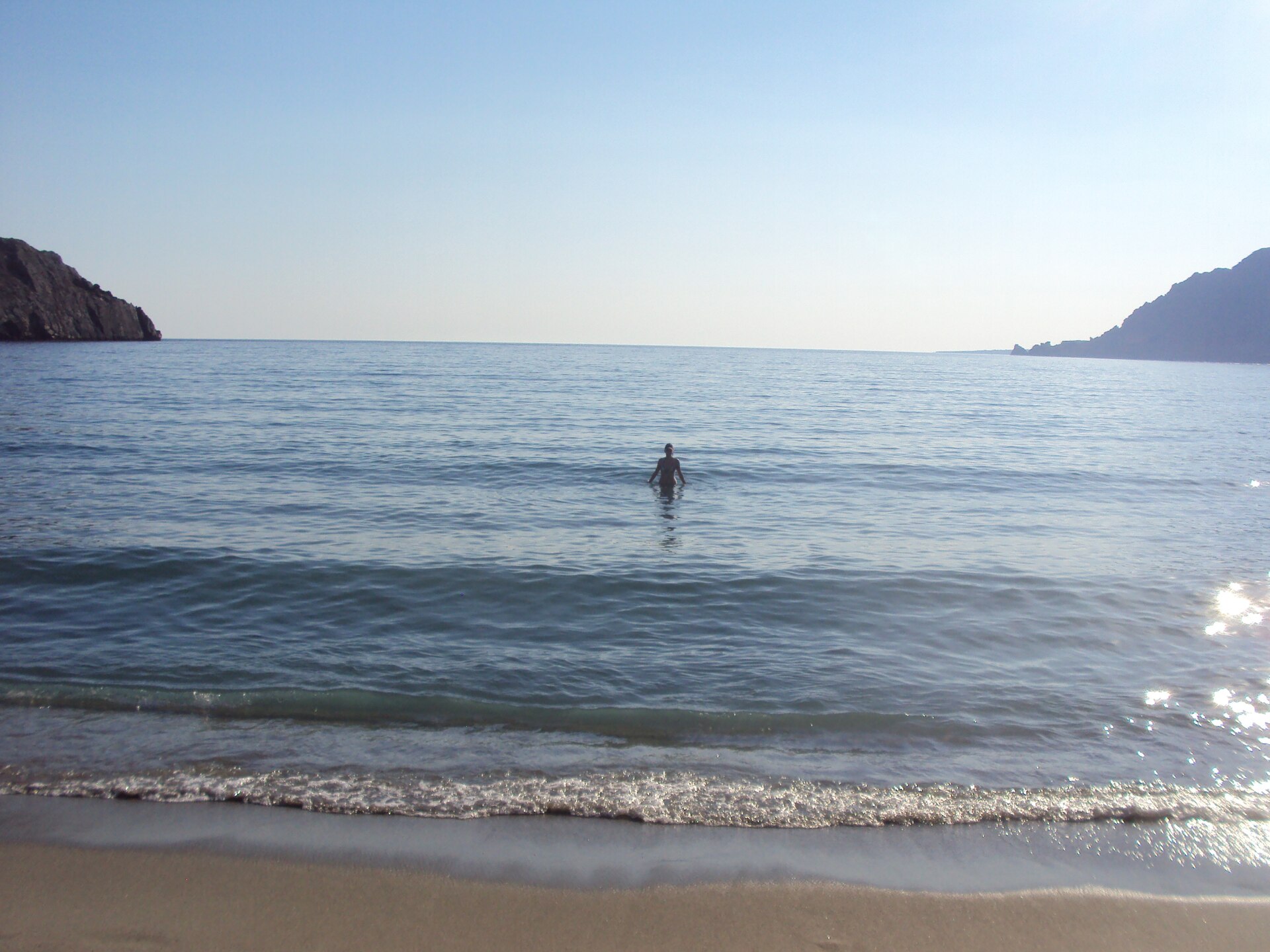
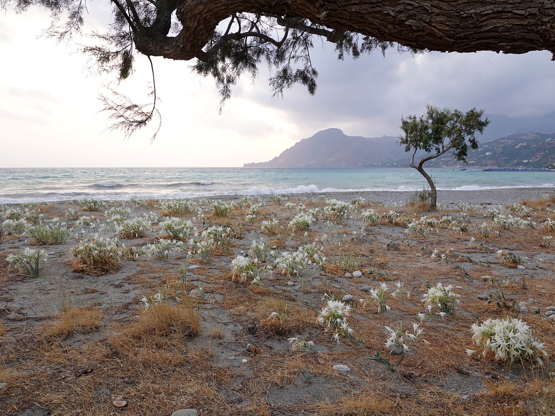
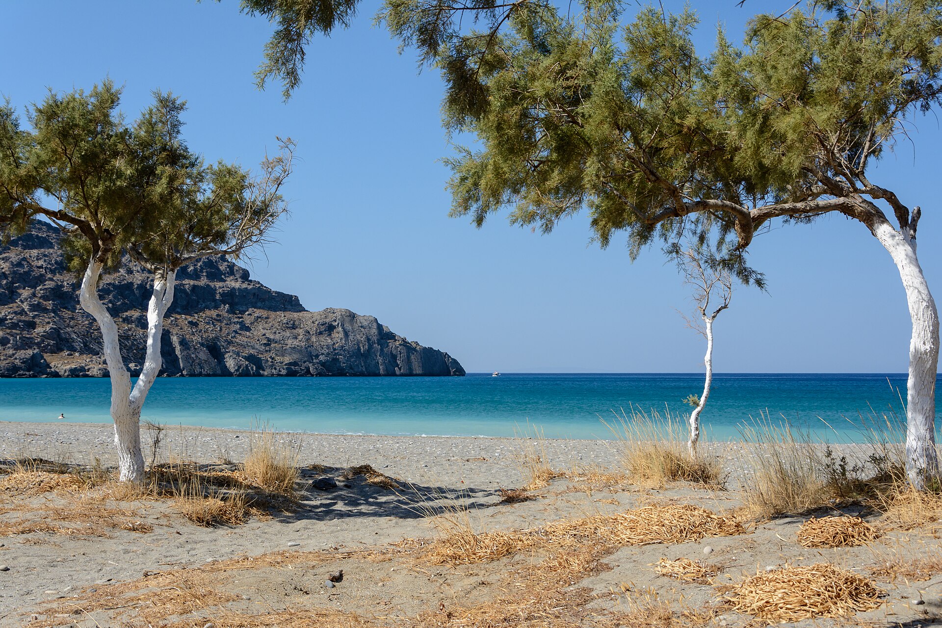
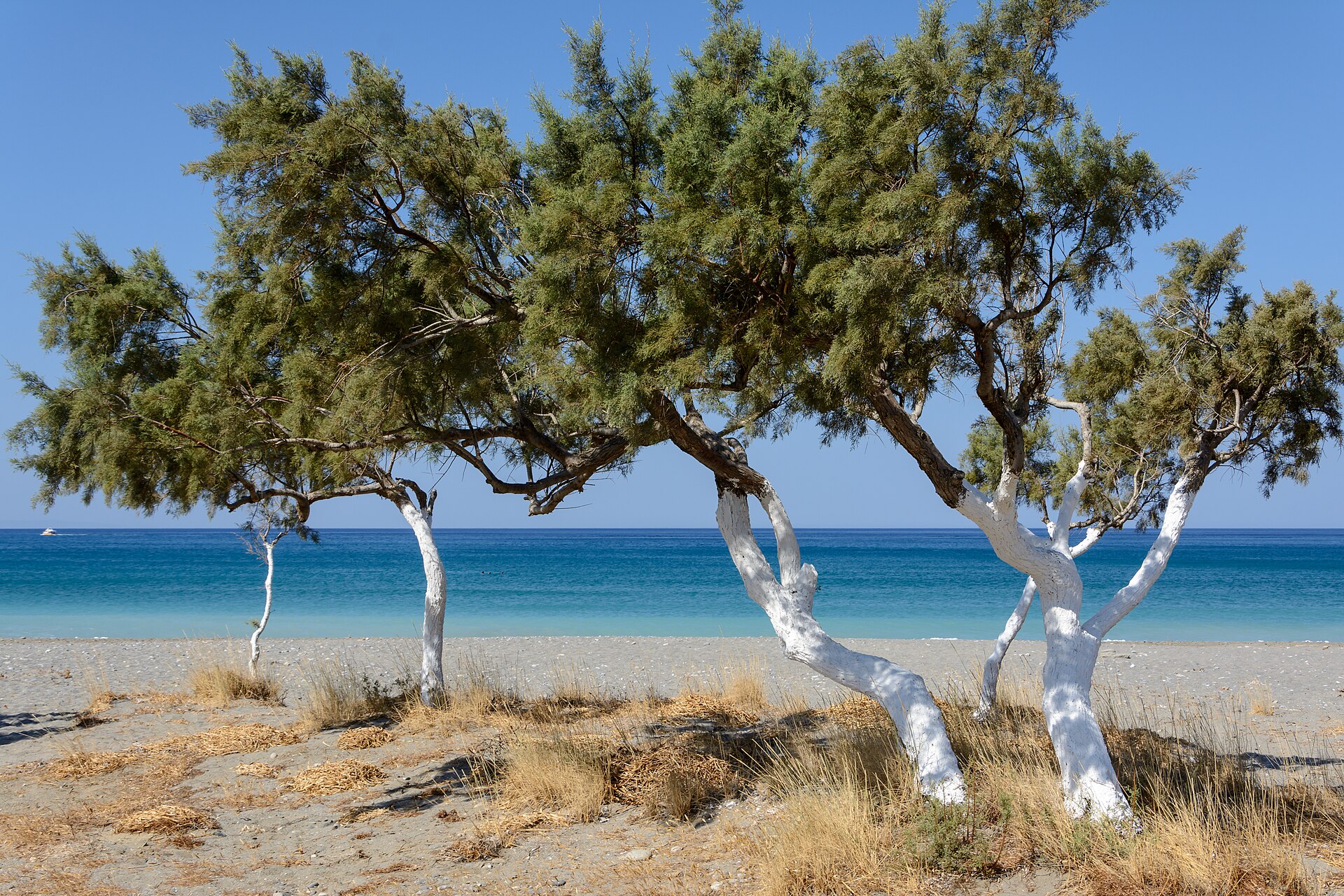
The coastline of Plakias is a long arc of sand mixed with pebbles that stretches for over a kilometer, washed by the Libyan Sea, the stretch of Mediterranean that separates Crete from the African coast and brings with it clear waters, often warmer than those of the northern coast. The seabed slopes gently, making the beach suitable even for families, while the western end, at the foot of the first rocky heights, offers wilder glimpses. The seafront promenade, with its taverns just steps from the water, remains the heart of the village's evening life: a discreet succession of family-run places where the day's catch still arrives from the boats moored in the small harbor.
Damnoni and the coves east of the village
Just beyond Plakias's eastern headland, reachable by car or with a scenic walk, opens the bay of Damnoni, one of the most photographed beaches on the south coast: golden sand, turquoise waters and a cliff that shelters it from the wind. Further on, smaller and more secluded coves are found, such as Ammoudi and Souda, the latter reachable only on foot or by boat, loved by those seeking a swim far from the beach umbrellas. This succession of coves, each with its own character, is one of the reasons why many visitors choose Plakias as a base for several days, moving each morning to a different beach.
The Preveli monastery and its history
About twenty minutes by car from Plakias, perched on a plateau overlooking the Libyan Sea, stands the monastery of Moni Preveli, one of the symbolic places of southern Crete. Its origins date back at least to the seventeenth century, but its fame is linked above all to its more recent history: during the Nazi occupation, the monks hid and helped dozens of Allied soldiers escape after they were trapped on the island following the Battle of Crete in 1941, an act of silent resistance that the monastery still commemorates today with a small museum and dedicated memorials. The current building, with its sober cloister and the church dedicated to St. John the Theologian, also houses a precious reliquary cross and offers from its forecourt one of the widest views over the entire coast.
The palm grove and Preveli beach
At the foot of the monastery, where the Megalopotamos river reaches the sea, lies one of the most unusual landscapes in Crete: a forest of Theophrastus palms, a rare native species in Europe, which grows along the watercourse until it meets the beach. The contrast between the intense green of the palm grove, the freshwater pool behind it, and the sand opening onto the Libyan Sea has made this place, known as Palm Beach or Preveli beach, one of the island's most recognizable images. It can be reached by descending a steep path or by sea with small boats that leave from Plakias during the summer months, a convenient alternative for those who don't want to tackle the steep descent.
The Kourtaliotiko gorge
The road that descends toward Plakias crosses the Kourtaliotiko gorge, a narrow and spectacular canyon carved into the limestone rock, which takes its name from the sound of the wind bouncing between its walls, the "kourtalisma". The footpath along the bottom of the gorge leads to the Kefalovrisi spring, where a waterfall feeds a pool of fresh water surrounded by plane trees, a green oasis in an otherwise barren landscape. It is one of the most accessible excursions in the area, suitable even for those who are not experienced walkers, and offers a taste of the less touristy Crete, made of shepherds, goats and silence.
Myrthios, the balcony over the bay
Perched on the hills overlooking Plakias, the small village of Myrthios offers what the village below lacks: the panoramic view. From here the bay opens up like an aerial photograph, with the village, the beach and the Damnoni headland arranged in sequence all the way to the horizon of the Libyan Sea. The stone houses, the taverns with panoramic terraces and the slow pace of the narrow streets tell the story of the rural Crete that preceded coastal tourism, and an evening stroll up here, perhaps for sunset, remains one of the most recommended experiences for those staying in Plakias.
The Kotsifou gorge toward the interior
A few kilometers from Plakias, in the direction of Spili and Rethymno, another spectacular gorge opens up, that of Kotsifou, crossed by a road carved into the rock that connects the south coast to the mountainous interior. Its vertical walls, sometimes hundreds of meters high, shelter small Byzantine chapels set into the rock and remains of ancient paths used by shepherds. It is an essential passage for those who want to move away from the coast and discover the mountain villages, with their terraced olive groves and public fountains still in use.
The landscape between mountain and Libyan Sea
What makes the territory of Plakias unique is the extreme closeness between two worlds: within a few minutes you go from the sand of the beach to the arid slopes of the mountains that close off the horizon to the north, southern outcrops of the Ida massif and the Kedros mountains. This hinterland, dotted with olive trees, carob trees and Mediterranean scrub, is crossed by a network of hiking trails, including a stretch of the famous E4, the long-distance route that crosses the whole of Crete. The Libyan Sea itself has a different character from that of the northern Aegean: warmer, choppier on days with the meltemi wind, with a color that shifts from turquoise to deep blue just a few meters offshore.
Traditions, flavors and village life
The cuisine found in the taverns of Plakias and the neighboring villages is the most authentic Cretan cuisine: dakos made with barley bread, fresh cheese and tomato, kalitsounia filled with wild greens or cheese, land snails cooked with rosemary, grilled lamb and goat accompanied by raki, the local grappa distilled from grape pomace that closes every meal as a gesture of hospitality. The olive oil from the groves surrounding the village, often family-produced, and the thyme honey gathered on the nearby mountains remain the area's most distinctive products, along with the dried mountain herbs found in the village's small shops.
When to go and how to experience Plakias
The swimming season runs from May to October, with the central months of July and August busier but also livelier, while June and September offer the same warm sea with milder temperatures and fewer visitors, ideal for excursions in the nearby gorges. In winter the village empties out almost completely and many businesses close, but it remains an evocative experience for those seeking the most authentic Crete, with snow-capped mountains in the background. The recommended pace is slow: Plakias lends itself to stays of several days, alternating beach, short excursions and evenings in the seafront taverns.
- Swim at Plakias beach and continue on to the coves of Damnoni and Souda
- Visit the monastery of Moni Preveli and its museum dedicated to the Cretan resistance
- Go down to the palm forest and Preveli beach, on foot or by boat
- Walk the Kourtaliotiko gorge to the Kefalovrisi spring
- Climb up to Myrthios for sunset over the bay
- Drive through the Kotsifou gorge to the mountain villages
- Dine on fresh fish at a tavern on Plakias harbor
FAQ
Come si raggiunge Plakias?
Quanti giorni servono per visitare Plakias e dintorni?
Plakias è adatta alle famiglie con bambini?
Dove si parcheggia in paese?
Si può visitare la spiaggia di Preveli senza auto?
È possibile portare il cane in spiaggia a Plakias?
Getting there
- Aeroporto di Chania (Souda) – circa 90 km, 1h30 d'auto
- Aeroporto di Heraklion (Nikos Kazantzakis) – circa 100 km, 1h45 d'auto
- Da Rethymno si scende verso sud lungo una strada di montagna che attraversa Spili e la gola di Kotsifou (circa 40 minuti); da Chania e Heraklion si segue l'asse nord-sud fino a Rethymno e poi la stessa direttrice verso la costa meridionale.
- A Creta non ci sono treni: il modo più pratico per muoversi tra Plakias, il monastero di Preveli e le gole vicine resta l'auto a noleggio, prenotata con anticipo in alta stagione.
Perfect for
Spiagge lunghe e calette appartate sul mare Libico, con acque calde e fondali adatti a tutti.
Gole, sorgenti e la rara foresta di palme di Preveli, tra le meraviglie naturalistiche più intense di Creta.
Il monastero di Preveli e il suo ruolo nella resistenza cretese durante la Seconda guerra mondiale.
Sentieri tra le gole di Kourtaliotiko e Kotsifou e un tratto del percorso E4 che attraversa l'isola.
Taverne di pesce sul porto e sapori dell'entroterra cretese, dall'olio d'oliva al raki.
To see